Lesson Plan 2: Mapping the Grand Canal - Geography
Class: 5th–6th / P6-P7
Objective: Students will develop map-reading and geographical analysis skills by exploring the Grand Canal route.
Materials:
- StoryMap: The Boatman’s Journey
- Printable map outlines of Ireland with major rivers and canals
- Coloured pencils or markers
- Online or physical atlas
Lesson Outline:
Introduction (10 mins)
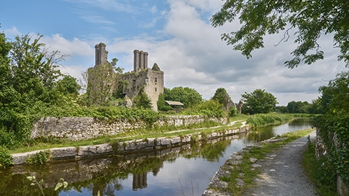
- Introduce the Grand Canal’s route from Dublin to Shannon Harbour.
- Explain its historical significance in connecting trade and communities.
Explore the StoryMap (15 mins)
Show the canal route and highlight major landmarks.
Discuss geographic features such as rivers, locks, and towns.
Activity: Map Creation (25 mins)
- Distribute map outlines.
- Students label:
- Start (Dublin) and end (Shannon Harbour) points.
- Key landmarks (locks, rivers, towns).
- Add a legend for features like locks, towns, and waterways.
- Use coloured pencils to trace the route of the canal.
Wrap-Up (10 mins)
- Display student maps.
- Discuss the importance of the canal for trade and travel in Ireland.